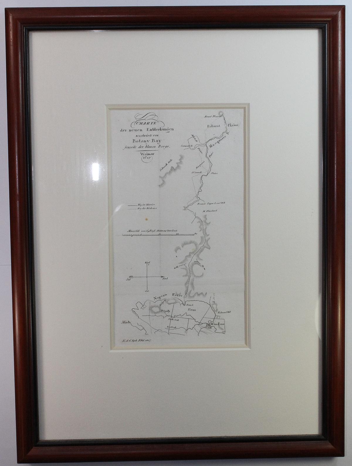
Lot 107


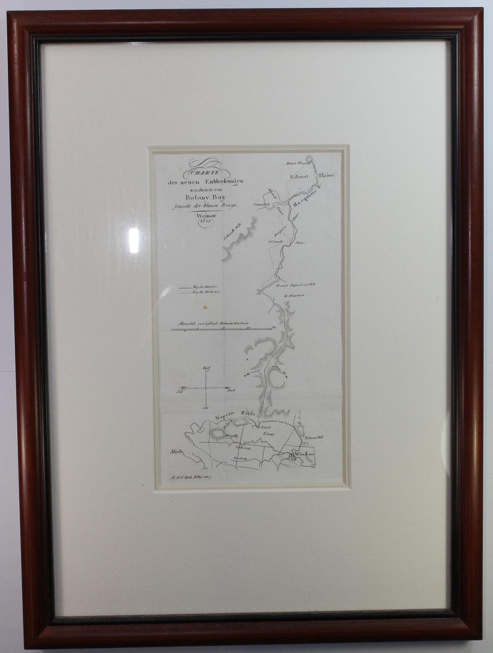
This is believed to be the first published map devoted solely to the Blue Mountains and shows Evan's outward and return tracks on the first (complete) crossing of the Great Dividing Range November 1813-January 1814
-
Provenance:
- From the Australian Natural History Collection (1699-1893) & Sydney and Surroundings Collection (1788-1896). Exhibited by the Blaxland Gallery 5th -27th August 1988 where this map was priced at $885. Dimensions:
- Measures 8.5x4.5cms within frame. Frame measures 15.5x11.5cms Exhibited:
- 332 Literature:
- Collectibles Medium:
- Books, Maps & Manuscripts Circa:
- Maps, Australia & New Zealand
Accepted Forms of Payment:
American Express, COD (cash on delivery), MasterCard, Money Order / Cashiers Check, Other, Paypal, Personal Check, Visa, Wire Transfer
Shipping
AUSTRALIA: Purchases within Australia will be charged a MINIMUM SHIPPING FEE of $5.50 and will be sent by Registered Post. Additional insurance is optional at the buyer's expense.
INTERNATIONAL: Overseas purchases will be charged a MINIMUM SHIPPING FEE of $20.00 and will be sent by Registered Post International. Additional insurance is optional at the buyer's expense.
Both Australian and International packages are traceable in transit and require a signature on delivery.
Smalls Auctions
You agree to pay a buyer's premium of up to 20% and any applicable taxes and shipping.
View full terms and conditions
| From: | To: | Increments: |
|---|---|---|
| A$0 | A$249 | A$5 |
| A$250 | A$999 | A$10 |
| A$1,000 | A$4,999 | A$25 |
| A$5,000 | A$9,999 | A$50 |
| A$10,000 + | A$100 |


